Have you ever wondered how we measure the green spaces that bring life to our cities? From parks to gardens, understanding these areas is super important for everyone! Join me as I explore the exciting tools and techniques, like remote sensing and GIS mapping, that help us take care of our beautiful outdoor spaces!
Remote Sensing Techniques for Measuring Green Spaces
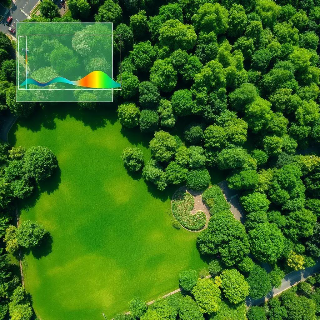
When I think about measuring green spaces, remote sensing always gets me excited! Imagine, using technology from way up high to see what’s happening down below. Isn’t that cool? Remote sensing involves capturing images from satellites or airplanes, allowing us to monitor green spaces without having to be there physically!
These images collect different wavelengths of light, capturing everything from vibrant green parks to patches of dense forests. Here’s what’s really interesting: the way light reflects off vegetation tells us a lot. Healthy plants reflect more infrared light and absorb red light. This means we can quantify green space health and density with tools like the Normalized Difference Vegetation Index (NDVI).
Using remote sensing, I can achieve a broad view of green spaces. Here are a few benefits:
- Coverage: I get to see large areas of greenery at once, which is perfect for urban planning!
- Regular Monitoring: I can check in on green spaces frequently, which helps me track changes over time.
- Trends Identification: By comparing images over different seasons, I can spot trends in vegetation health and growth.
Of course, like anything else, remote sensing has its challenges. Cloud cover can sometimes get in the way! It’s like trying to take a picture of a beautiful landscape but having a cloud block the view! For the best results, combining remote sensing with field surveys ensures we get the most accurate picture of our precious green spaces.
Isn’t it awesome that technology helps us understand our environment? With remote sensing, I feel like I’m part of something bigger – a team that cares about preserving our green spaces for everyone’s enjoyment!
The Role of GIS Mapping in Green Space Analysis
Now, let’s talk about GIS mapping! This fancy term stands for Geographic Information Systems, which is just a way to visualize and analyze spatial data related to green spaces. If you think of GIS mapping as the secret ingredient in a recipe, you’ll understand how essential it is for effective green space management!
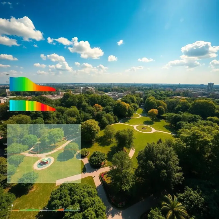
With GIS mapping, I can zoom in and out to see everything from individual parks to vast urban forests. Here’s how it works: I can layer different data types on top of each other. For example, I might look at:
- Vegetation cover: How lush and green are our parks?
- Land use: What types of buildings are nearby?
- Accessibility: How easy is it for people to get to these green areas?
This layering helps me see relationships and connections. It’s like putting together a puzzle where each piece tells part of the story! Plus, GIS mapping lets me measure sizes and boundaries accurately. I can easily identify gaps in green space coverage – isn’t that neat?
One of my favorite features is how GIS can help visualize community demographics. By examining population density alongside green spaces, I can see if everyone has access to nature.
But wait, there’s more! With web-based platforms, anyone can access GIS maps. I can share these colorful maps with friends and family, making everyone aware of the green treasures in our cities.
So, whether I’m trying to figure out where to plant new trees or assessing existing parks, GIS mapping is my go-to buddy for making lasting changes in green space management. Who knew maps could be this fun and useful?

Conducting Field Surveys for Detailed Green Space Insights
Field surveys are like the secret sauce that adds flavor to our understanding of green spaces! When I think of field surveys, I picture myself wandering through a park, notebook in hand, ready to observe everything around me! This hands-on approach allows me to gather detailed information about the quality and condition of greenery.
During field surveys, I check the health of plants in various spaces. Some things I focus on include:
- Vegetation Sampling: I look at different types of plants and trees to see how they’re doing. Are they thriving or struggling?
- Canopy Cover: Measuring how much shade is provided by the trees gives me insight into the overall health of the area.
- Biodiversity: I pay close attention to the variety of species present. The more, the merrier!
But it’s not just about plants! I also observe how people use these spaces. For example, do families picnic in the park? Are there kids playing? Gathering this information helps improve the design of green spaces so they meet the needs of my community!
An exciting part of field surveys is involving the community! Citizen science initiatives can empower people to help collect data. They can record their observations about plants and animals or even the overall enjoyment of a park.
Field surveys provide a detailed and intimate look at green spaces. By combining what I learn from these surveys with other methods, I can help promote better management and conservation of our natural treasures!
Utilizing Geospatial Technologies for Accurate Data Collection
Let’s dive into the amazing world of geospatial technologies! These tools are like having a treasure map, guiding me to gather and analyze data about green spaces. With geospatial technologies, I can collect accurate information that helps in planning and preserving our environment!
First up, we have GPS devices! These nifty gadgets help me pinpoint exact locations of green spaces. By marking boundaries and features, I can create accurate maps that show where these precious areas are. It’s like playing a real-life game of “Where’s Waldo?” — but instead, I’m finding parks!
Next, I explore the magical world of mobile applications. With these apps, I can collect data right on-site. Picture this: I take photos, log information about plant health, and note any changes happening around me, all while enjoying a sunny day outdoors! The ease of real-time data entry keeps everything fresh and relevant.
Then there’s Geographic Information Systems (GIS). With GIS, I can layer different kinds of data. Imagine stacking colorful sheets of transparent paper, each representing a different aspect of a green space, like vegetation cover and accessibility. When I combine them, I get a clearer picture of how everything interacts! This helps urban planners make decisions that benefit everyone.
So, whether I’m using GPS devices or tapping away on an app, geospatial technologies are my trusty companions in understanding and preserving green spaces. It’s fascinating how technology combines with nature to help us care for our environment!
Addressing Challenges in Green Space Measurement
Measuring green spaces can feel a bit like trying to find your way through a corn maze. There are some challenges that come up along the way, but tackling these obstacles is essential for accurate data collection!
One of the biggest challenges is defining boundaries! Sometimes, green spaces have fuzzy edges that blend into other areas. This can make it tricky to determine their exact sizes, especially for parks that share borders with private property. It’s like trying to determine where the pizza ends and the plate begins!
Next, I have to think about data availability and quality. Sometimes, the information I need might be outdated or incomplete, making my job a bit harder. Getting reliable data on vegetation cover and biodiversity can require extensive field surveys, which may take time and resources.
Another hurdle is the scale and resolution of the data. Satellite imagery might give me a broad overview of a city, but I also want to see the little details, like types of plants in a specific garden. Balancing wide-ranging insights with finer details can be tricky!
Integrating different data sets is also part of this challenge. Each source of data might have unique formats and qualities, so I need a solid plan to make everything work together smoothly. Think of it as putting together a puzzle where pieces come from different boxes!
Lastly, engaging with the community is vital, but it can be tough. I want everyone to feel included, but building trust and addressing privacy concerns can be a challenge. It’s all about creating a welcoming atmosphere!
While measuring green spaces isn’t always easy, overcoming these challenges can lead to amazing insights! By collaborating and sharing ideas, I can help create vibrant, healthy environments for all to enjoy!

